



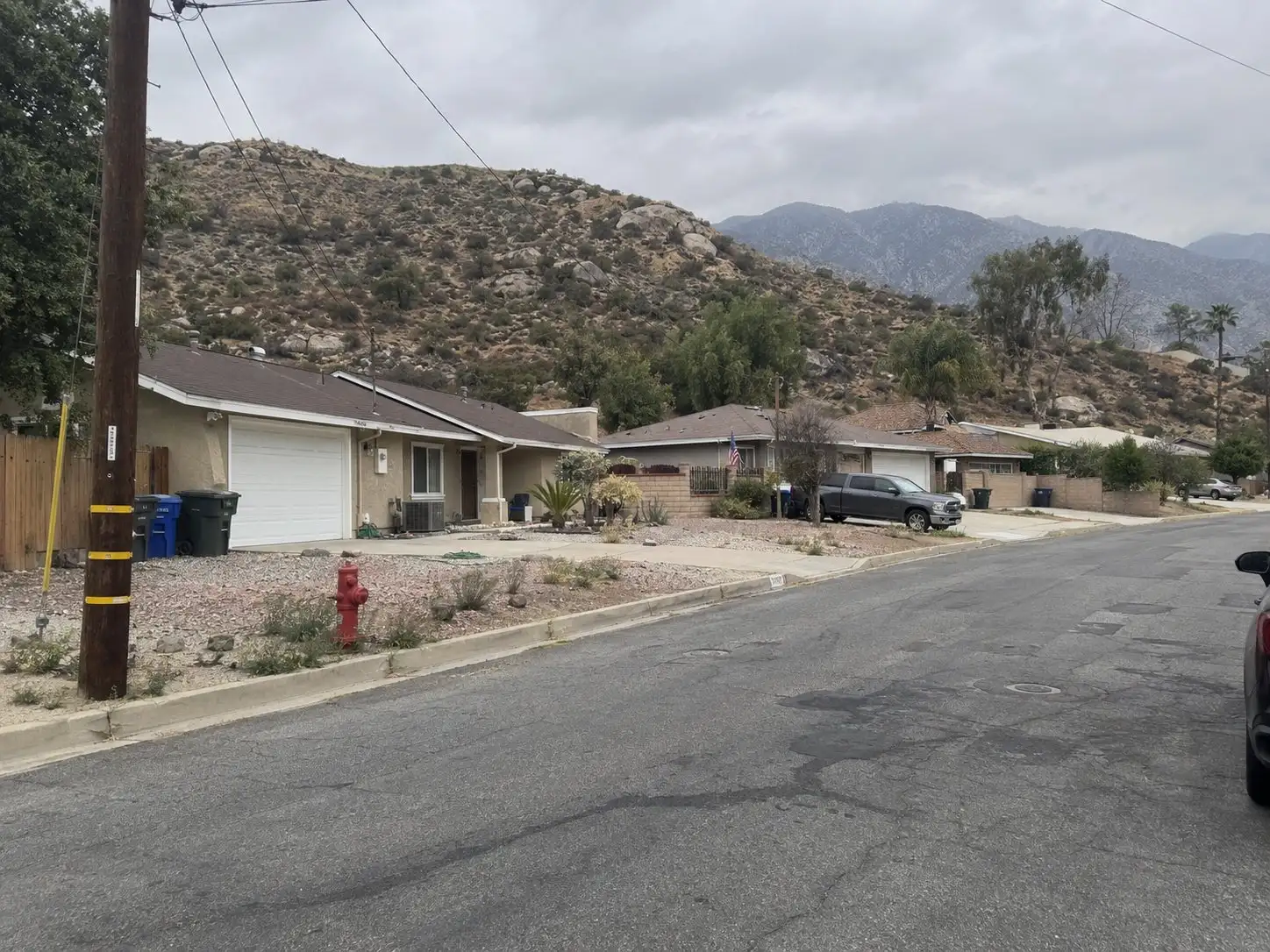
If you own a home in Banning, the question is no longer only whether the hills around town can burn. It is which fire hazard severity zone map applies to your parcel on the day you list, and whether the City has adopted it yet. That second part is easy to miss, and it changes what you hand a buyer.
This guide explains how the zone system works and what the City of Banning’s own page says. It is general information, not legal advice, and the City’s current map controls over anything printed here.
What does the City of Banning say about the new maps?
The City’s Fire Hazard Severity Zones page says the Office of the State Fire Marshal issued 2025 recommended Local Responsibility Area maps for Banning on March 24, 2025. The page describes each parcel as Moderate, High or Very High, based on terrain, vegetation and fuel conditions, fire history, and climate and weather patterns.
When we read the page, it listed the maps as recommended and not yet adopted by the City. It also said the Banning Office of the Fire Marshal was not proposing additions or increases to the state’s recommended levels, and that the City must adopt the state maps by ordinance. The page gives a public comment form and a mailing address at the Office of the Fire Marshal, and it links to a map viewer.
A page like this can be updated after we read it. Treat what you see on the City’s site today as the answer, and treat this paragraph as a description of what to look for.
What does a local responsibility area mean for a seller?
A local responsibility area, or LRA, is land where a city or local fire agency, rather than the state, carries primary responsibility for fire protection. Inside city limits that is usually the case. Land in state responsibility areas, mostly unincorporated wildland, is mapped by the state directly.
The difference shows up on your paperwork. The Natural Hazard Disclosure statement lists three fire lines a seller can check: High in a state responsibility area, Very High in a state responsibility area, and Very High in a local responsibility area. A Banning home inside city limits would fall under the local line if it falls in a zone at all.
How does a recommended zone become a local zone?
The State Fire Marshal identifies the zones, and the city then makes them its own by ordinance. Government Code section 51178 directs the State Fire Marshal to identify Moderate, High and Very High zones using consistent statewide criteria, based on fuel loading, slope, fire weather and other relevant factors.
Section 51179 then tells the local agency to designate the zones by ordinance in its jurisdiction within 120 days of receiving those recommendations. The city may add areas or raise a level. It may not lower any level the State Fire Marshal identified. The city must also post a notice at the county recorder, county assessor and county planning agency saying where the map can be found, and it has 30 days after adopting its ordinance to send a copy to the State Board of Forestry and Fire Protection.
For a seller, the practical point is timing. A listing that goes live while a city is still between a recommended map and an adopted ordinance can face a moving target. Ask which version your Natural Hazard Disclosure report used, and ask your agent to note the date of the map it relied on.
What must you disclose in a Banning sale?
You answer the fire line on the Natural Hazard Disclosure statement under Civil Code section 1103.2. The form asks whether the property is in a High or Very High fire hazard severity zone as identified under Government Code section 51178, and it notes that the owner is subject to the maintenance requirements of Government Code section 51182. Most sellers receive this through a third-party report provider as part of the disclosure package. Natural hazard disclosure reports covers the rest of what that report includes.
If the map is not accurate or detailed enough to show whether a parcel is inside a zone, the statute directs the seller or agent to mark Yes. The agent may mark No only if a report that verifies the property is outside the zone is attached. The statement does not replace your other duties, and the seller disclosure guide shows where it sits among them.
What about the defensible space paperwork?
Civil Code section 1102.19 applies to a seller whose property is in a High or Very High zone. The seller must give the buyer documentation that the property complies with Public Resources Code section 4291 or with a local vegetation management ordinance.
How you meet it depends on the jurisdiction. Where the local government has an ordinance requiring that documentation, you provide the compliance paperwork and tell the buyer which agency can supply a copy. Where there is no such ordinance but an agency or qualified nonprofit offers inspections with documentation, you provide documentation obtained in the six months before you enter into the transaction. If you have no documentation, you and the buyer can sign a written agreement under which the buyer obtains it. Where a local ordinance applies, the buyer complies with it. Where none applies, the buyer has one year from close of escrow.
The City’s page states the standard owners in a Very High zone should plan around: 100 feet of defensible space around structures, along with home hardening and the wildland urban interface building codes. Whether and how Banning runs an inspection or compliance program for sales is something to ask the Office of the Fire Marshal directly, because that decides which branch of section 1102.19 you are on.
How do you check your own parcel?
Start with the City’s Fire Hazard Severity Zones page and the map viewer it links to, and look up your address. Write down the zone shown and the date you looked. Then confirm with the Banning Office of the Fire Marshal whether the City has adopted the ordinance for the 2025 maps and which map applies today.
If your parcel shows a High or Very High designation, ask the Fire Marshal’s office what documentation a seller in your position is expected to produce and who issues it. If the viewer shows no zone, still read your Natural Hazard Disclosure report, because that report is what carries into the transaction.
Keep one thing separate. A zone designation is a land fact about where your parcel sits. It does not describe your house or your street, and the same map can place neighboring parcels in different zones.
What does a zone change mean for insurance and the house itself?
A map change does not by itself change your policy. Insurers set their own rules, so ask your carrier or an independent agent how they treat your address and what mitigation they want to see. Wildfire insurance non-renewal and selling walks through the questions to put to them before a buyer’s lender does.
On the property side, wildfire hardening covers the home features that matter most, such as roof, vents and the first few feet around the walls. If you are weighing work before you list, a pre-listing inspection puts the findings in front of you before a buyer’s inspector writes them up. Two nearby guides show how the same state law plays out in other places: Poway and Fallbrook.
The short version
Banning’s maps have been in motion since the State Fire Marshal’s recommendations of March 24, 2025, and a recommended zone becomes a local one only when the City adopts it by ordinance. Check the City’s current map for your address, record the date, and confirm with the Office of the Fire Marshal what applies today. If you are in a High or Very High zone, plan for the Natural Hazard Disclosure answer and the defensible space documentation early, so neither surprises a buyer.
If you are thinking about selling and want a starting number before you decide what to do, try the home value tool. It is a starting point before a conversation about your specific home.
Common questions
Is my Banning home in a fire hazard severity zone?
The only reliable answer is the zone map for your specific parcel. The City of Banning points owners to a map viewer on its Fire Hazard Severity Zones page, and the Natural Hazard Disclosure report ordered for your sale will also state the result. Do not guess from the look of the street, because zones follow terrain, vegetation and fire history rather than neighborhood lines.
Do recommended zones count before the City adopts them?
Government Code section 51179 tells a local agency to designate the zones by ordinance within 120 days of receiving the State Fire Marshal's recommendations. Until that ordinance exists, the zone is a recommendation rather than a local designation. Ask the City's Office of the Fire Marshal which map is in force on the day you list, and have your agent confirm it before the disclosure package goes out.
What do I have to give a buyer if my home is in a High or Very High zone?
Civil Code section 1102.19 requires a seller in a High or Very High zone to give the buyer documentation that the property complies with defensible space law or the local vegetation ordinance. If you do not have that documentation, the statute provides for a written agreement in which the buyer obtains it afterward.
Can a seller leave the fire zone question blank?
No. The Natural Hazard Disclosure statement under Civil Code section 1103.2 has a fire hazard line that has to be answered. If the map is not detailed enough to tell whether a parcel is inside a zone, the statute lets the seller or agent mark Yes, or attach a report that verifies the property is outside it.
