



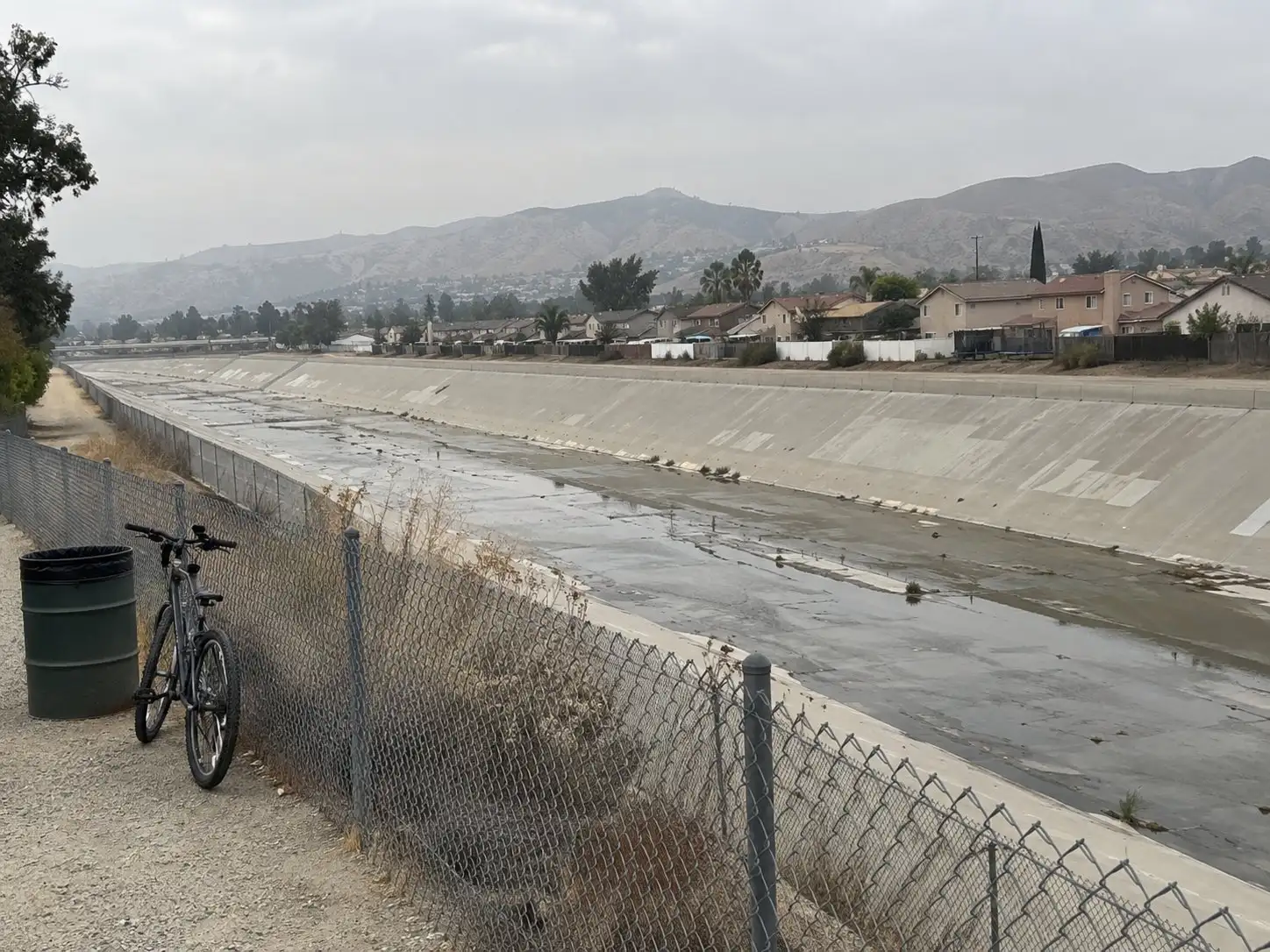
Corona sits downstream of Prado Dam on the Santa Ana River, and enough of the city’s housing stock is close enough to the river corridor that dam inundation comes up regularly in escrow. It is a real disclosure item, not a reason to assume the worst about a listing, and it is often confused with an entirely different map that covers ordinary flooding. Sorting out which map says what, and where to look it up yourself, takes the guesswork out of it.
What a dam inundation area actually is
A dam inundation area is the area a map shows would flood if a dam failed or released water in an uncontrolled way. It has nothing to do with rain totals or river flow in a normal year. State law requires the owners of significant, high, and extremely high hazard dams in California to prepare inundation maps and emergency action plans, and the Department of Water Resources’ Division of Safety of Dams reviews and approves those maps. Prado Dam, as a major Corps-operated flood control structure, falls under that mapping requirement.
Sitting inside a mapped inundation area does not mean a home is likely to flood. Dam failure is rare, and dams like Prado exist specifically to manage flood risk on the river below them. The map exists so that emergency planners, and now buyers, know what the worst case looks like on paper.
How it shows up on the Natural Hazard Disclosure
California’s Civil Code requires sellers of most residential property to disclose whether a home sits in a mapped dam inundation area, using this exact language from Civil Code section 1103.2: “AN AREA OF POTENTIAL FLOODING shown on a dam failure inundation map pursuant to Section 8589.5 of the Government Code.” That is one of six boxes on the Natural Hazard Disclosure statement, and it is checked using the same government inundation maps described above, not a guess by the seller or the agent.
This line sits on the same form as the FEMA flood zone box, right next to it, which is exactly why the two get mixed up. They answer different questions from different maps. Our guide to NHD reports walks through all six boxes on that form and what each one means.
Dam inundation maps and FEMA flood zones are not the same map
The two are frequently confused because they both use the word flood, and they both land on the same disclosure form. A FEMA flood zone comes from the Flood Insurance Rate Map process and models flooding from rainfall, snowmelt, and river overflow under real weather conditions, the kind of flooding that happens somewhere in the country most years. A dam inundation map models a single hypothetical event, the failure of a specific dam, and it is prepared under state dam safety law rather than the federal flood insurance program.
A property can appear on one map, the other, both, or neither. A “yes” on the dam inundation line of the NHD form says nothing about the property’s FEMA flood zone, and a home outside any FEMA Special Flood Hazard Area can still sit inside a mapped dam inundation area. Treat them as two separate questions and check both.
Where the flood insurance requirement actually comes from
The mandatory flood insurance requirement that lenders enforce comes from FEMA’s flood mapping, not from dam inundation mapping. Under the Flood Disaster Protection Act, a property mapped inside a Special Flood Hazard Area, FEMA’s Zone A or Zone V designations, must carry flood insurance if the loan is backed by a federal program or a federally regulated lender. A dam inundation finding by itself does not trigger that federal mandatory purchase requirement.
That does not make a dam inundation finding irrelevant to insurance. It is still worth raising with a broker directly, since some carriers price or underwrite differently once they know a specific hazard map applies to a parcel. Ask the question rather than assume the answer either way.
How to look up a specific address
Two different government tools answer the two different questions, and neither one substitutes for the other.
For the dam inundation question, the Department of Water Resources’ Division of Safety of Dams posts approved inundation maps through its public viewer at fmds.water.ca.gov/maps/damim. That tool shows the mapped inundation area for dams the state has reviewed, including Prado Dam.
For the flood zone question, FEMA’s Flood Map Service Center at msc.fema.gov lets a user search by address, place, or coordinates and pull the current Flood Insurance Rate Map panel for that parcel. Because maps get updated, always check the current version rather than relying on an old printout.
A title company or the natural hazard disclosure provider hired during escrow checks both of these on a parcel-specific basis as part of preparing the NHD statement, so a buyer does not have to run either lookup alone to get a reliable answer, though doing it yourself before you write an offer costs nothing and takes a few minutes.
Prado Dam and the Corps’ work on it
The U.S. Army Corps of Engineers built Prado Dam on the Santa Ana River, upstream of Corona, and continues to own and operate it as part of the Santa Ana River Mainstem flood risk management project, the same authorized project that includes Seven Oaks Dam farther upstream. The dam has been in service since 1941 and functions as an earthen flood control structure rather than a lake that holds water year round.
The Corps has an active dam safety program at Prado, including a spillway modification effort tied to the Santa Ana River Mainstem project. Because a federal infrastructure project’s scope, cost, and schedule change over the life of the work, the details of that project are exactly the kind of thing to confirm directly with the source rather than repeat secondhand. Current status, fact sheets, and public notices for the Prado Dam work are posted on usace.army.mil under the Los Angeles District, and that is the place to check before treating any specific completion date or dollar figure as current.
What to ask your insurer and lender
Before you’re deep into a purchase contract on a Corona property near the river, get specific answers instead of general reassurance. Ask your insurance broker whether the property’s FEMA flood zone requires flood insurance on the loan you’re using, and separately ask whether the dam inundation finding on the NHD statement affects pricing or underwriting with that particular carrier. Ask your lender directly whether flood insurance is a closing condition, since that answer comes from the FEMA zone, not the dam inundation line, and the two get conflated in casual conversation more often than they should.
If either map shows a finding, ask for it in writing rather than a verbal answer, the same way you would for any other item on the disclosure packet. Our seller disclosure guide covers how this fits with the rest of what a Corona seller has to turn over, and if fire risk is also part of the conversation on a given property, the FAIR Plan guide explains the insurer of last resort that some California properties end up needing.
The short version
A dam inundation finding and a FEMA flood zone finding are two different answers from two different maps, both of which can appear on the same Natural Hazard Disclosure statement for a Corona property below Prado Dam. Check the DWR inundation viewer and the FEMA Map Service Center separately, ask your insurer and lender what each finding actually changes for your loan, and confirm anything about the dam itself directly on usace.army.mil rather than through secondhand summaries.
If you want a property near the river read carefully before you price it, start with the home value tool.
Common questions
Is a dam inundation area the same as a FEMA flood zone?
No. A dam inundation map models what would flood if a dam failed. A FEMA flood zone models flooding from a river or storm event under normal conditions. A property can be in one, both, or neither, and the Natural Hazard Disclosure statement checks for each separately.
Does a dam inundation finding mean I have to buy flood insurance?
Not on its own. The federal mandatory purchase requirement is tied to FEMA's Special Flood Hazard Area on a federally backed loan. A dam inundation finding is a disclosure item, not an insurance trigger by itself, though it is worth asking your insurer about directly.
Who built Prado Dam and who is responsible for it now?
The U.S. Army Corps of Engineers built Prado Dam on the Santa Ana River and continues to own, operate, and maintain it as part of the Santa Ana River Mainstem flood risk management project. Current project status is posted on usace.army.mil.
How do I check whether a specific Corona address is in the inundation area?
Use the Department of Water Resources Division of Safety of Dams inundation map viewer for the dam-failure question, and the FEMA Flood Map Service Center for the flood-zone question. They are two different lookups on two different sites, and a title company or NHD provider can also confirm both for a specific parcel.
